search

CloudSURVEY Cellular Mapping Portal4G/LTE, 3G/UMTS & 2G/GSM Signal Analyser & Datalogger Mapping Portal

The SNYPER and SENTRY family of products are high performance, multi-language network signal analysers and cellular signal loggers, dedicated to surveying and logging the 4G/LTE, 3G/UMTS & 2G/GSM cellular networks.

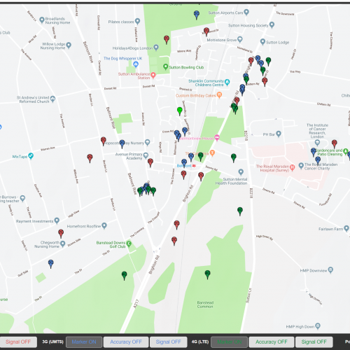
The CloudSURVEY portal allows you to export and save all of your cellular survey results from a compatible SNYPER and SENTRY product to your account in the cloud. The CloudSURVEY software has a host of features, allowing you to view approximate base-station positions on a map and determine the most suitable network for your application.

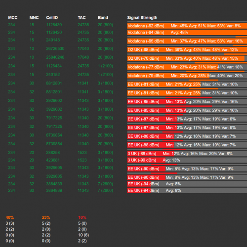
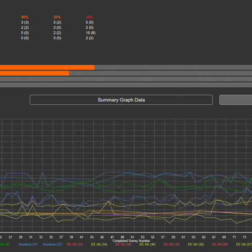
The CloudSURVEY portal simultaneously calculates the entire available network resources in the area where the survey was performed and displays the relative dominance of each mobile network operator. This allows you to make an informed decision about the optimal cellular network, taking into consideration network technology, network reliability, average signal strength, base-station position and network density.

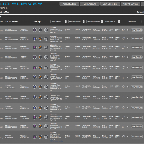
The user can apply filters to adapt the results list and in addition, the portal has the ability to determine where your base-stations are located in relation to where your survey was performed. It can store all survey results in one central location with custom categories and individual survey labels for future identification.

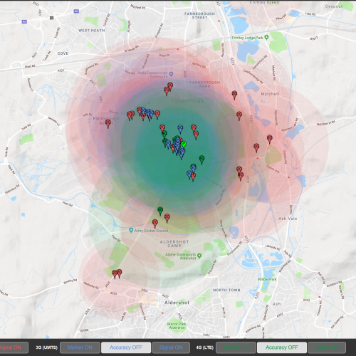
  • Provide approximate base-station position information for all available networks
  • Store all survey results in a central location in the cloud
  • Recall survey results and compare results against each other
  • Label and categorise survey results
  • Dynamically show individual network technologies on a single map
  • Dynamically show network signal strength heat map
  • Automatically calculate network dominance for each saved survey
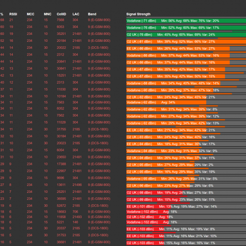
  • Display advanced network parameters visually for easy comparison

2G
GSM
3G
UMTS
4G
LTE
AP
Coverage
AUTO
SAVE Logs
CSV
Reports
EMEA
Europe
HTML
Reports
LBS
Location
LOG
Surveys
LTE
Cat M1
LTE
NB1
MAP
Labels
MAP
Position
MAP
Storage
MNO
Dominance
MNO
Summary
MULTI
Language
P2P
Alignment
RTC
Timestamp
SCAN
Realtime
SORT
Categories
SORT
Networks
SORT
Signals
USA
Americas
WIN
Linux/MAC
WW
Global
X vs Y
Compare


RoHS
Compliant
cloud survey portal,signal strength analysis,google maps,google cell location,gps,gnss,galileo,beidou,glonass,navigation,cell marker,direction finder,cell tower location,squid,csl,dycon,asl

Datasheet

CloudSURVEY Datasheet

Manuals

User Manuals

CloudSURVEY User Manual

Marketing Documents

CloudSURVEY Flyer

Software Manuals

CloudSURVEY User Manual

CloudSURVEY Portal Access

CloudSURVEY is a Siretta value add service that stores, displays and provides powerful analysis of SNYPER survey results exported from the latest SNYPER models.

The CloudSURVEY portal analyses data from SNYPER survey results to:

  • Display the approximate position of cellular base-stations on digital maps
  • Identify specific base-stations from position markers and display cell parameters
  • Review key data on all network technologies, position accuracy & cellular signal strength
  • View 2G/3G/4G simultaneously
  • Filter by network provider and network prominence
CloudSURVEY Mapping Portal
Close Menu